
Float fishing the Colorado River from Catamount to Burns is one of our favorite trips because the further downstream you go along the upper Colorado River, the fewer people you will most likely be sharing the river with. This is especially true for the five mile stretch between the Catamount bridge and the take out near the town of Burns, Colorado. It is not that the fish here are smaller, or come in fewer numbers, people tend to stay away simply because this section of water takes a little longer to get to, and the shuttle can be more difficult to arrange and can cost more money.
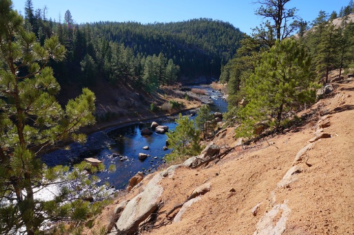
Here, the Colorado River flows next to banks of green grass, huge boulders, and tall trees. Steep, sage covered hillsides lead up to a canyon rim of vertical rock walls hundreds of feet above the river. This section of water is uniquely quiet, secluded, and beautiful.
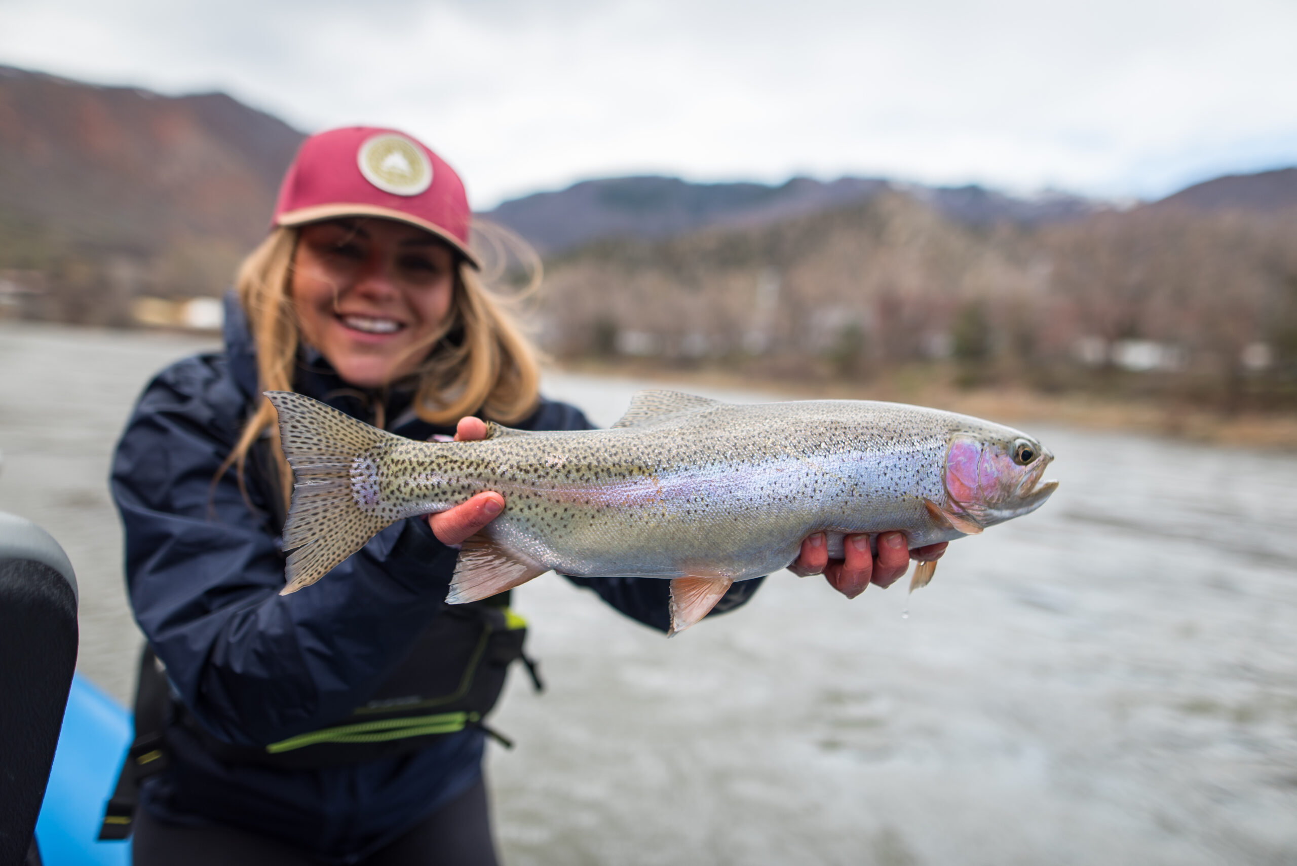
The wild brown and rainbow trout that thrive in this place average between ten to sixteen inches and can reach the eighteen and twenty-inch mark frequently. This float is most often done as a half day trip, but can be stretched into a full day by stopping and wade fishing in a few carefully chosen spots.
Fly Patterns
Insect hatches from Catamount to Burns are the similar to those throughout the rest of the upper Colorado. The summer months usually have fish searching for caddis, terrestrials, and mayflies, with tricos being the most prolific hatch of the year. Dry fly fishing with big foam hoppers works throughout the summer and fall. Every day can be different, and without much fishing pressure, most of the fisherman’s troubleshooting should be focused on insect life. In the fall, there may not be a better way to fish the Colorado River. Blue winged olives are also a key insect for hungry Colorado River trout in the fall. Streamers can be very effective on this stretch and do a great job of covering water when hatches are sparse. The best months to fish this stretch are between July and November.
The Water
Two of the main factors affecting the fish-ability of Catamount to Burns are clarity and water temperature. Numerous tributaries feed into the Colorado above the Catamount Bridge. These tributaries often run through steep, erosive canyons, and tend to flush sediment into the Colorado making it too muddy to fish. It is important to keep a close eye on both the USGS streamflow chart for the gauge in Dotsero and current fishing reports before planning a day trip on this stretch.
Trout tend to be congregated where currents create riffles. Rocky bank structure also holds fish. During hatches even slow tailouts and long pools will have rising fish.
The town of Burns sits just below six and a half thousand feet above sea level, meaning that there can be times during the heat of the summer where the water gets too hot to catch trout safely. Protect fish by wrapping up your day before the water reaches sixty eight degrees.
New oarsmen will find most of this stretch of river to be fairly mild, with a few class I and II rapids that are easily seen and scouted from shore.
Burns
The float ends at a short, unimproved boat ramp just outside the tiny community of Burns, Colorado. Named for the eighteen hundreds era trapper and frontiersman Jack Burns, this little town consists of nothing more than a few houses and trailers, a small church, and a U.S. Post office. Visiting anglers will not find any services here, and should be prepared with plenty of gas, snacks, and tackle.
As always, the best way to experience the Colorado river between Catamount and Burns is on a guided fly fishing trip in a Vail Valley Anglers drift boat loaded with cold drinks and hot flies. Call the shop for more information or to book your trip today.
Andy “Otter” Smith, Guide and Content Writer


