
In this day and age, backcountry enthusiasts demand more from their electronics than ever before. There is an ever-increasing reliability on electronic gadgetry by modern day outdoorsmen. This has overshadowed the necessity to understand and orienteer by good old-fashioned compass in the outdoors. As a result, a compass can’t deliver the immense amount of information that can be obtained technology. Technology like an extremely detailed and user-friendly app format like the one found using onX maps.
onX for a: Fly Fishing Guide
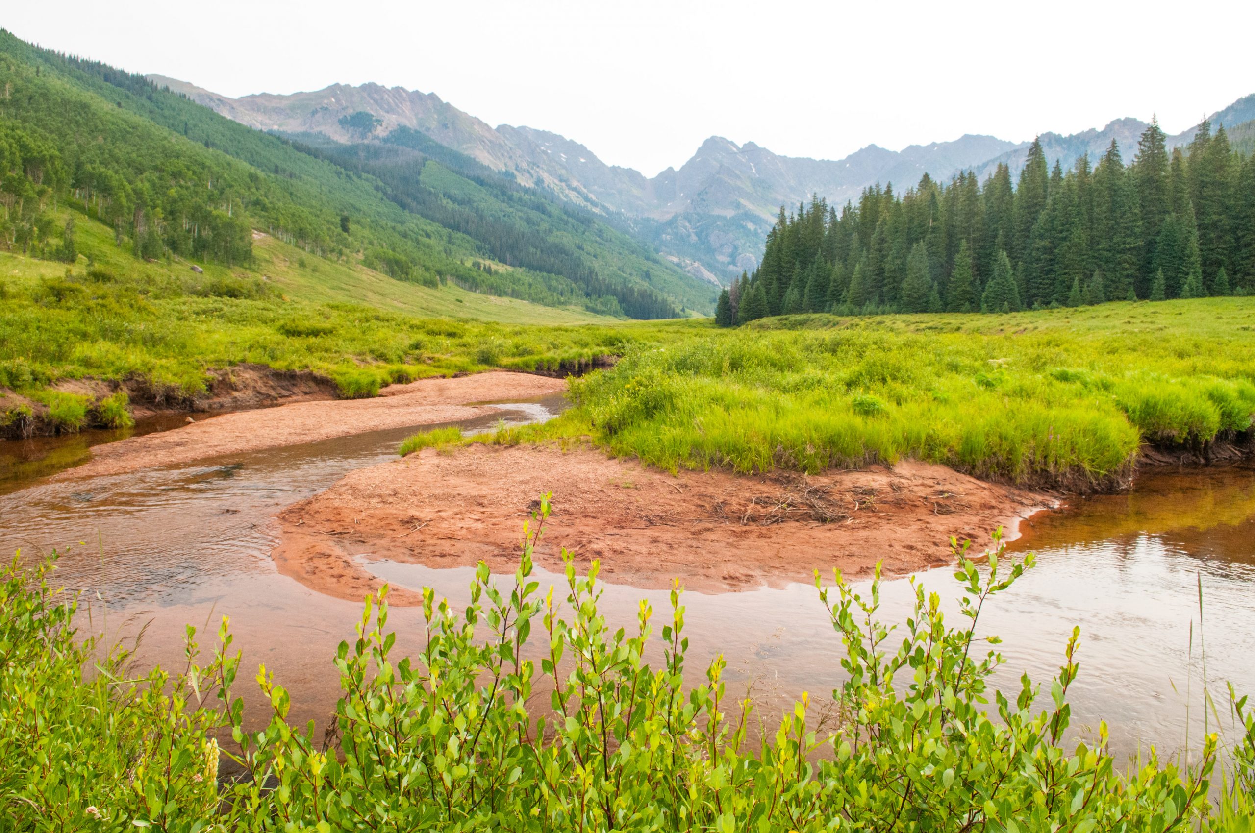
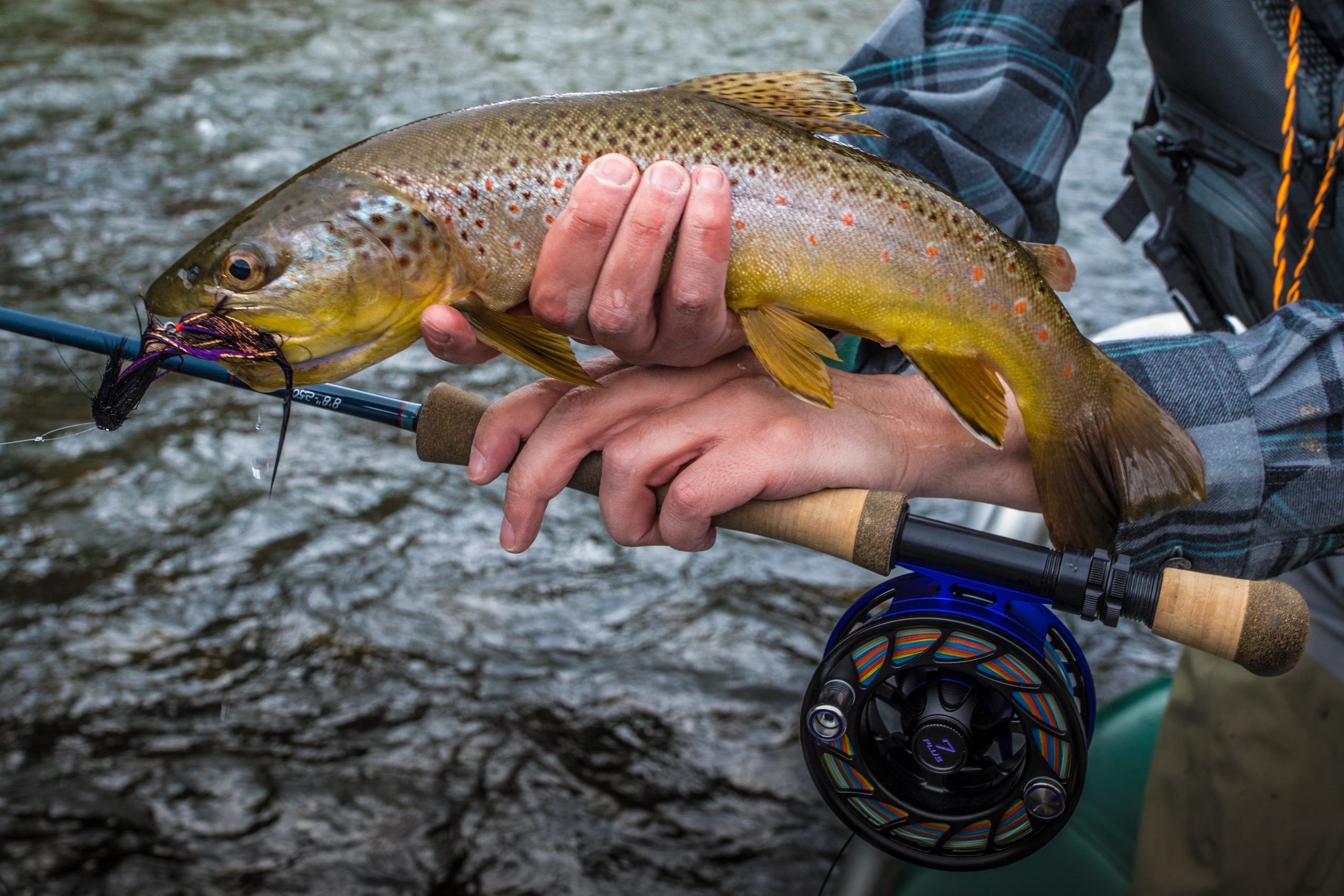
As a professional fly fishing guide, having an accurate record of private and public lands along the river to prevent accidental trespassing is a necessity. Keeping tabs of my position along the river enhances the safety factor should accidents occur as well. Being able to contact my shop, local authorities or other guides with accurate information surrounding possibly dangerous obstacles in the river or incidents that happened on the river can be more easily recorded with the assistance of onX maps. The areas within our guiding permit where trespassing incidents could occur are well known. OnX eliminates any question as to where one should or should not stand, preventing the chance of infraction and possible negative repercussions.
onX for a: Special Hunting Tag
Initially I was apprehensive in trusting my high stakes Colorado Elk tag to the guiding factors found in the onX app. It had taken years to acquire the tag so I felt the necessity to carry paper maps into the field, but I squashed my anxiety and embraced the new tool leaving my old-school maps in the truck.
My first impressions were around how easy the installation onto my mobile device was. The app appeared clearly on my phone and located my position quickly. I was able to see through multiple views and layers on the map that appeared on my phone. Roads, even dirt roads on the private ranch, appeared exactly as they existed. Negotiating my way through the private property became commonplace with the added assistance of onX maps.
Focusing on border fences where some elk knew the right or wrong side to be on was a breeze with the onX map app and my phone. Pinch points and burn areas were located with the help of the onX maps. Even in “No Service” areas the application functioned without fail. After a few days the onX app allowed me to pattern the common paths elk were using regularly. Knowing the area and travel patterns of the elk on the ranch because of the onX map app allowed me to fill a cow elk tag on the morning of the third day. I was able to share the waypoint where I field dressed the elk as well as provide tracking from the hunt throughout the day with my wife and friends.
onX for: General Navigation
The real estate agent had never actually visited the property.Searching along the rural county road, the travel instructions seemed to describe every other rock and driveway they encountered. The small for sale sign had long since fallen over in the sage brush but the little ranch property had remained on the market. The onX map highlighted the drive and the entrance to the ranch along with the names of the adjacent landowners. Landscape features appeared on the map of the property and helped to seal the real estate deal. Without the assistance of the onX app, the ability to project different layers on a map and extreme accuracy even in “No Service” areas, the real estate dealer would have lost a sale.
onX for: Back Country Skiing
Before approaching the open field below the frozen cornice, the back country skiers checked their avalanche beacons. The leader of the group surveyed his surroundings with the aid of the onX map app on his phone. Adjusting their descent, they headed towards the closed forest service road. Here they planned to cross country ski back to the vehicles. The onX app combines aspects of high-end GPS units, expensive mapping chips and degradable backcountry charts to deliver the group safe passage.
Everyone arrived at the vehicles in time for the sunset. Andy was able to retrace the loop they just made with the help of his onX map app. Custom waypoints illustrated the day. Highlights showed where they saw a bull moose, the frozen waterfall and an alternate route to explore on the next time they ski the area.
Conclusion
The amount of opportunities where backcountry enthusiasts can apply the onX map app is limitless. From professional anglers to die-hard hunters and avalanche avoiding backcountry skiers, the onX map app is an awesome tool . It is great to carry into the high country on a device most people won’t leave their home without, the cell phone. While the necessity has not been lost for understanding a compass, the opportunities to use this new tool are growing. Having trouble deciding if the onX map app is worth it? Take it for the free seven days trial period. The onX app is so full of possibilities it could take days to learn all of the ways to apply it.
Mike “Sal” Salomone, Vail Valley Anglers Guide and Content Writer


